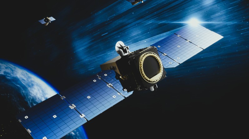
Star trackers are essential components in satellites. These devices actively capture images of stars and employ sophisticated software algorithms to determine a satellite’s attitude—its position and orientation relative to the celestial sphere.
The process begins when the camera captures a snapshot of the star field. Next, the software actively applies image processing techniques to enhance clarity, such as filtering noise and correcting lens distortions. Then, it calculates the precise center of each bright spot (star) in the image, a step critical for achieving sub-arcsecond accuracy. Typically, this is accomplished using Gaussian fitting or moment-based methods. Once the centroids are identified, the software employs star identification algorithms to match these points with a preloaded star catalog, ultimately computing the satellite’s three-axis attitude. This process, known as “star identification” or “star map solving,” involves complex algorithms that account for factors like satellite motion, image noise, and distortions.

The landscape of star tracker software is diverse, catering to various mission requirements and budgets. Broadly, it can be categorized into open-source, commercial, and custom-developed solutions.
– Open-Source Star Tracker Software: Ideal for educational and small-scale projects, these solutions are freely available and community-driven.
– Commercial Star Tracker Software: Companies provide off-the-shelf star trackers with embedded software tailored for commercial, civil, and defense missions. Their cost-effective, high-performance sensors leverage advanced algorithms to support multi-camera setups, enhancing accuracy in dynamic environments.
– Custom and Hybrid Solutions: For specialized missions, such as deep space exploration, software is often custom-developed to meet unique requirements.
Investing in robust star tracker software yields numerous advantages, making it a cornerstone of modern space technology.
– High Precision and Reliability: With accuracy better than 1 arcsecond, software-driven trackers ensure satellites maintain optimal orientation, critical for high-resolution imaging or laser communication.
– Cost Efficiency: Affordable software options reduce mission costs, enabling more frequent launches of satellite constellations.
– Low Power and Compact Design: Optimized algorithms minimize computational load, which is vital for power-constrained small satellites.
– Autonomy and Fault Tolerance: Modern software incorporates features like automatic star reacquisition after interruptions, improving resilience against solar flares or eclipses.
– Versatility Across Orbits: From low Earth orbit (LEO) constellations to interplanetary probes, star tracker software adapts to diverse environments.
In telecommunications, satellites in geostationary orbit rely on precise pointing to maintain links with ground stations. Similarly, Earth observation platforms depend on accurate attitude control for data collection. Scientific missions benefit significantly; for instance, NASA’s Chandra X-ray Observatory uses star tracker-derived attitude data to align instruments with cosmic phenomena. In crewed spaceflight, systems like those on the International Space Station (ISS) integrate star trackers for docking and navigation.
Emerging applications include satellite servicing and debris removal, where software enables rendezvous maneuvers. For deep space missions, such as lunar or Martian exploration, star trackers provide inertial references when GPS is unavailable.
Send us a message,we will answer your email shortly!
TY-Space Technology (Beijing) Ltd. is professional focusing on advanced attitude optical sensors, especially Star Trackers for space industry.