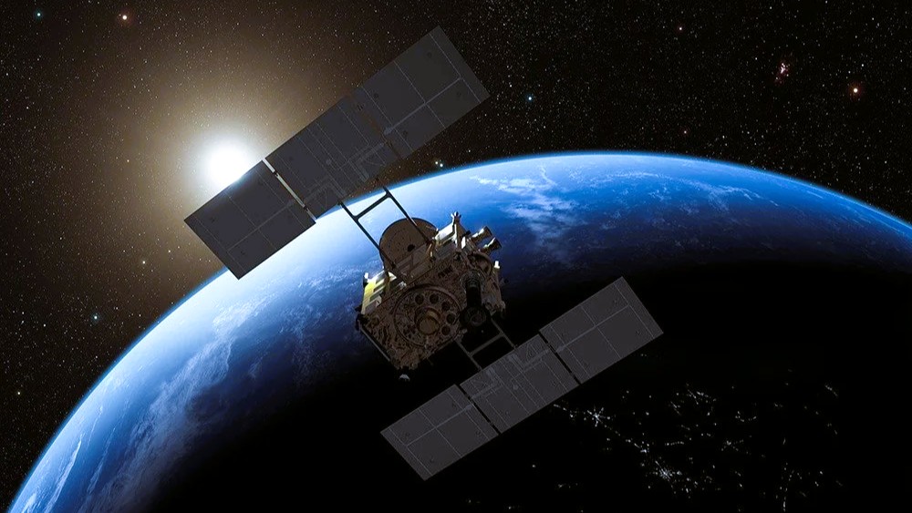
Satellite sensors are designed for specific tasks, from imaging Earth’s surface to detecting atmospheric conditions. The primary categories include passive and active sensors.
Passive Sensors: Harnessing Natural Energy
Passive sensors are the backbone of many Earth observation satellites. They rely on external energy sources, such as sunlight reflected from Earth’s surface or thermal radiation emitted by objects. These sensors are energy-efficient and ideal for applications requiring minimal interference.
One common type is optical sensors, which capture visible light and near-infrared wavelengths. They produce high-resolution images for mapping land use, monitoring deforestation, and tracking urban expansion. Another subset, thermal infrared sensors, detects heat emissions. These are vital for measuring sea surface temperatures, identifying forest fires, or detecting volcanic activity.
However, passive sensors depend on ambient light, so they perform poorly at night or in cloudy weather.
Active sensors generate their own energy pulses and analyze the echoes or reflections. This makes them versatile, as they operate independently of sunlight, penetrate clouds, and function in complete darkness.
Radar sensors are a prime example. Synthetic Aperture Radar (SAR) systems send microwave signals to Earth and measure the backscattered waves. This technology is essential for all-weather imaging, such as monitoring oil spills, measuring soil moisture, or detecting ground deformation after earthquakes.
Altimeters are specialized active sensors that measure the distance from a satellite to Earth’s surface. Radar altimeters track ocean waves, sea levels, and ice sheets, providing data for climate models. Laser altimeters offer higher precision for terrestrial elevation studies.
Scatterometers measure ocean wind speeds by analyzing how microwave signals scatter off water surfaces. These are critical for weather forecasting and maritime safety.
Sounders vertically probe the atmosphere, using active techniques to collect data on temperature, humidity, and gas composition.
Specialized Sensors for Attitude and Navigation
Beyond remote sensing, satellites use sensors for their own operations. Earth sensors and horizon sensors maintain orientation by detecting Earth’s infrared features or horizon.
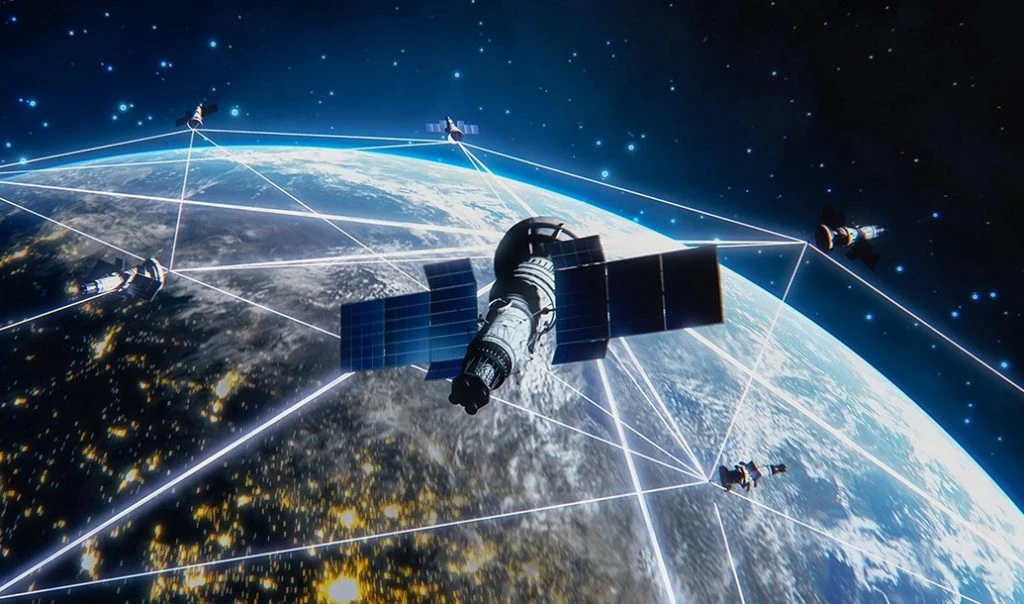
Navigation sensors, such as GPS receivers and star trackers, enable satellites to determine their position accurately. Star trackers orient spacecraft using celestial maps, while magnetometers detect Earth’s magnetic field for low Earth orbit missions.
Satellite sensors’ versatility extends to numerous fields. In environmental monitoring, passive optical sensors track biodiversity loss and pollution, while active radar monitors deforestation in real time. For agriculture, multispectral sensors assess crop health, optimizing irrigation and yield predictions.
In disaster management, active sensors provide imagery during hurricanes or floods, excelling when optical views are obstructed. Weather satellites use radiometers and sounders to predict storms, saving lives through early warnings.
Military and defense applications include reconnaissance using high-resolution sensors, while commercial uses like telecommunications rely on navigation sensors for precise orbits.
Space exploration satellites, such as those probing Mars or asteroids, use specialized sensors for mineral detection or atmospheric sampling.
Send us a message,we will answer your email shortly!
TY-Space Technology (Beijing) Ltd. is professional focusing on advanced attitude optical sensors, especially Star Trackers for space industry.