The 6.8-magnitude earthquake occurred in Luding County, Ganzi Prefecture, Sichuan Province in this month. Due to the thick cloud covering at the earthquake area, other optical satellites could not effectively image the affected area. The emergency response mechanism of civil and commercial satellites was activated immediately, Emergency dispatch of more than 10 satellites including HS-1, Chaohu-1, Qilu-1, etc. for emergency high-definition imaging of the earthquake-stricken area, and a sense of success to obtain 35 scenes of radar images. Compared with relying on international satellite data support during the Wenchuan earthquake in 2008, the application of high-resolution in China has been completely released from the long-term dependence on foreign remote sensing data.
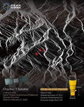
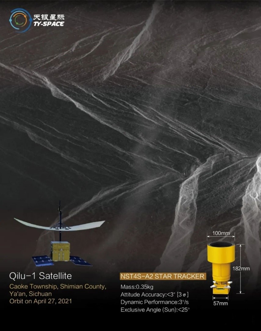
TYspace star tracker was used in the attitude control systems of HS-1, Chaohu-1 and Qilu-1 satellites that provided accurate images for the earthquake relief work.